There’s not a lot to say about the Mua viewpoint, it’s just a beautiful view to reward you for about an hour and a half of exercise. It’s only accessible through the Hang Múa Ecolodge, and they charge you a couple bucks as an entrance fee. Once you’re in, they have various kiosks where you can buy drinks or ice cream, and little ponds and statue gardens where you can instagram it up, if that’s your thing.
Cát Bà National Park: Hiking the Peak, Trung Trang Cave & Hospital Cave| Vietnam
If you are in the mood for nature and light exercise, a day at Cat Ba National Park is great! It’s an easy ride on a motorbike, which you can rent for less than $10/day. I don’t feel confident on a motorbike and Grab doesn’t work on Cat Ba, so I walked down to the taxi stand on the main strip and struck a deal with a cab driver to chauffeur me to the park and caves for the day then bring me back. I don’t remember exactly but believe I paid around $40. If you really want a workout you can walk from Cat Ba Town, but it would take around 3 hours.
Right inside the entrance to the park is a really nice homestay with a restaurant, so if you want a coconut coffee to get you going or need to eat lunch, it’s convenient and the food is good. With a 9 or 9:30 start, I was easily able to have a coffee at the homestay, hike the peak, eat a relaxing lunch, visit both Trung Trang and Hospital Caves, and be back in Cat Ba town by late afternoon.
For a nature reserve there’s not much flora or fauna in the park. Despite its World Heritage Site status, security has been lax enough to allow poaching, to the point where endangered species like the Cat Ba langur are on the brink of extinction. However, if you just want to breathe fresh air and hike in nature, the trail to the highest point on the island is really short, taking just an hour or so, and pretty easy too: it’s 90% steps and 10% scrambling when you get to the top. The views are beautiful and it’s high enough to get that vertiginous feeling!
There’s an alternate difficult hike from the park entrance to Viet Hai village nearer the east coast of the island. This hike requires some trekking skill and serious endurance; it takes 8 to 12 hours. It’s not marked on the park map, but can be arranged in advance with a guide.
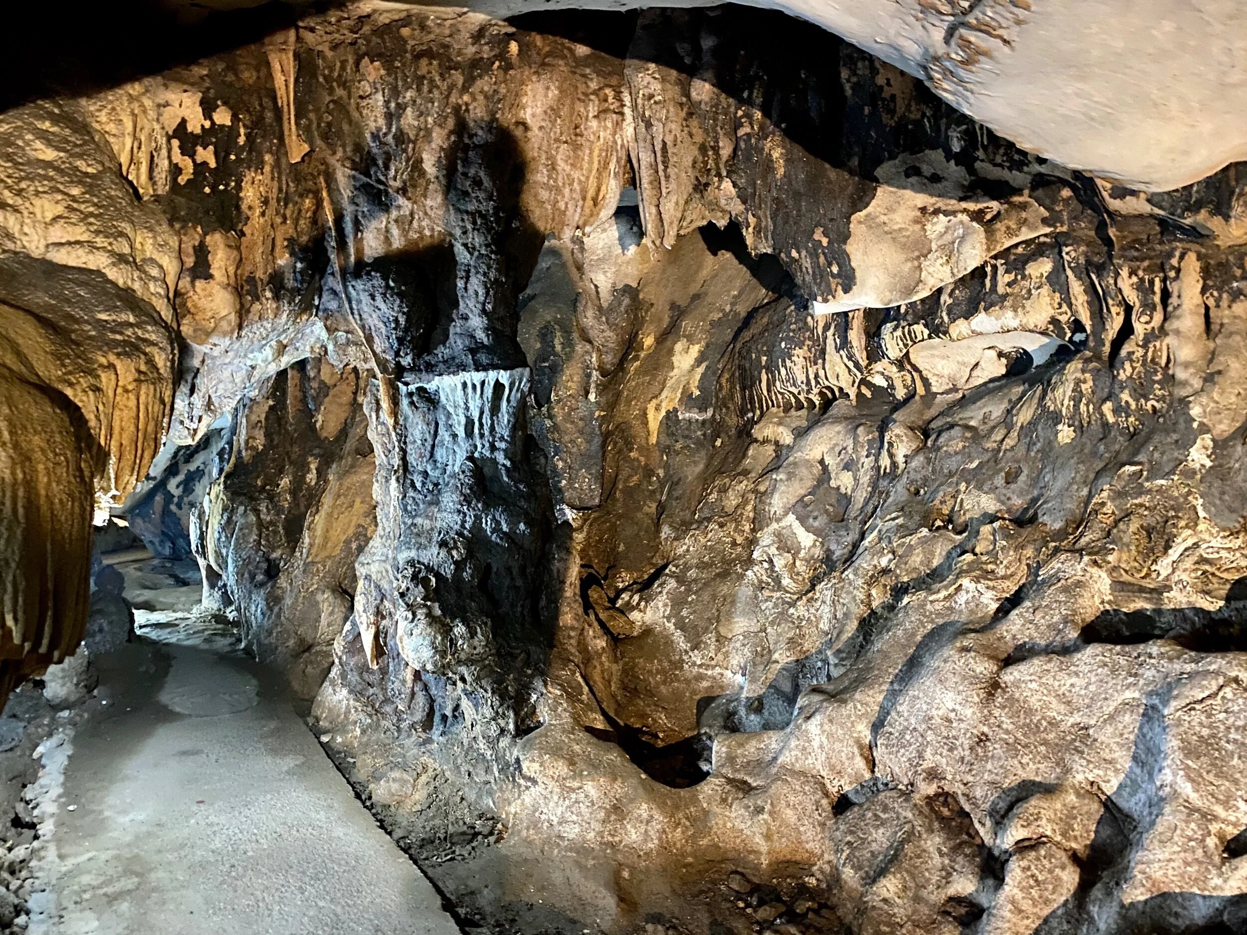
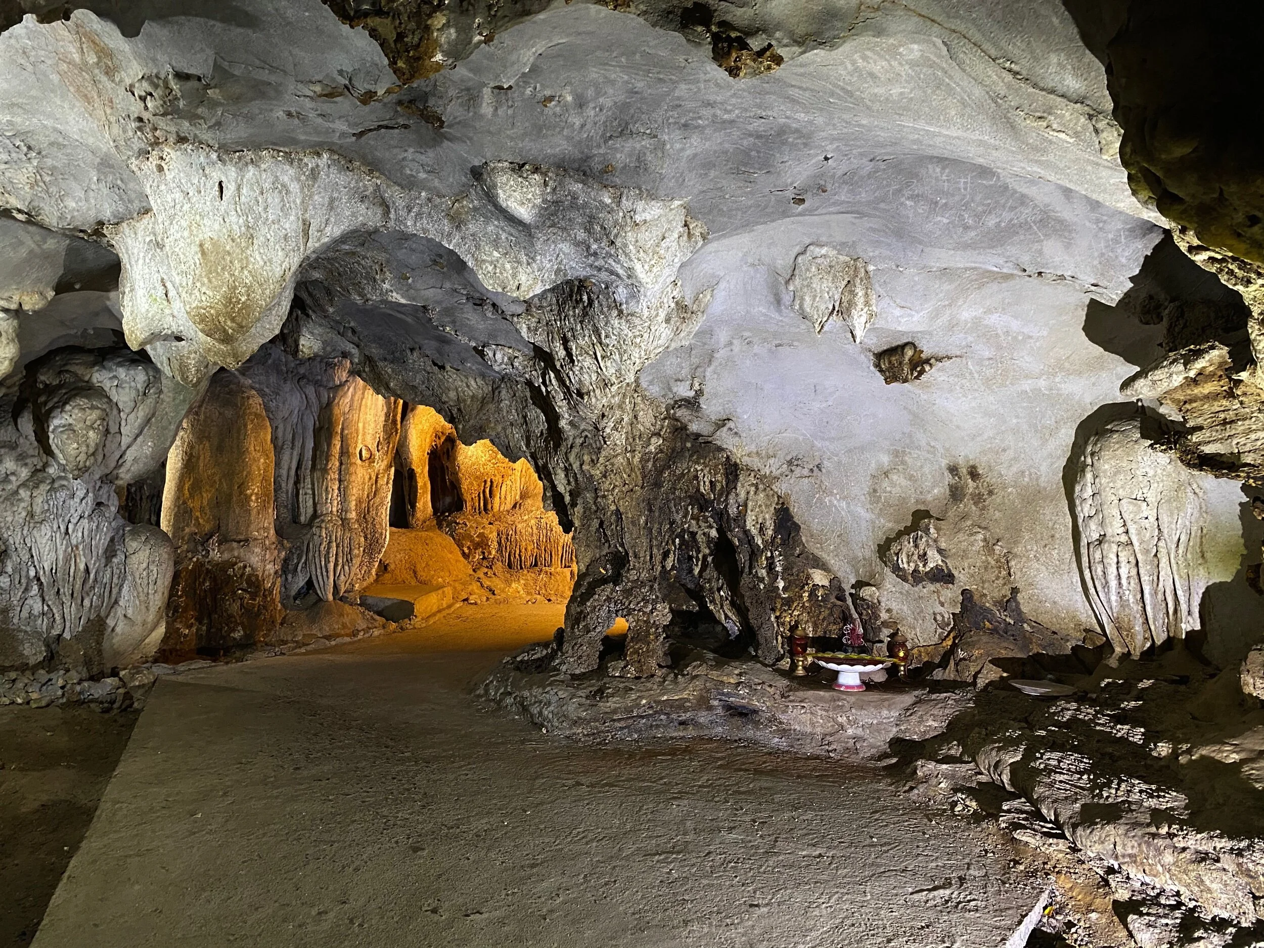
Trung Trang cave is actually the name for a system of 150 connected caves, where different stalagmites and stalactites grow, and some ancient human remains have been found. Of course, the section tourists can access is much smaller, but still very interesting looking. The entrance is a quick walk down the road from the park entrance.
Hospital cave was built with Chinese aid during the Vietnam war; it’s a three story concrete building with emergency exits, freshwater access, and air shafts, all built within a preexisting cave system. It was in continuous use for around 12 years, serving both as a hospital and safe house for VC leaders. It’s sparsely decorated with mannequins of soldiers, but that wasn’t the strangest thing I saw here . . . It seems they rent out the third floor for parties and events?!
Again, Hospital Cave is just a minute’s walk down the main road. I wouldn’t want to get married there, but I did really enjoy the day!
Phan Xi Păng "Fansipan" Mountain: "The Roof of Indochina" | Vietnam
AT 3,147 meters, Mount Fansipan is the highest mountain in both Vietnam and the Indochinese Peninsula. There are three ways to get to the peak: easy, moderate, and quite difficult.
The easy way up really is easy, with 3 funicular trains and 1 cable car bringing you up in less than 2 hours and only 50 steps or so. In Sapa Town, you buy a funicular ticket at Fansipan Legend’s Sapa Station (conveniently located at the corner of Fansipan Road, across from the BB hotel). I would also recommend hitting up the Vietcombank ATM across the street because the easy way up is not cheap! Between tickets (which you must purchase individually for each train) and the cups of hot chocolate or snacks you will absolutely want for fuel, you will spend around $40. And that’s assuming you’re properly dressed . . . I had to blow another $20 or $30 on earmuffs and gloves.
Funicular tickets are available from 7am to 5pm, and the funicular leaves every half hour. Sapa Station is clogged with shops selling overpriced, terrible quality cold weather gear (counterfeit Chanel and Gucci shawls; acrylic berets; those ubiquitous stuffed animal earmuffs) and Vietnamese specialties (indigo, honey, medicinal liquor complete with preserved reptiles).
The funicular ride to SunWorld is lovely no matter the time of day. The train was built with an antique vibe, is extremely clean, and the maybe ten minute trip is picturesque. You wind away from Sapa Town on a narrow track, cutting through mountainsides and emerging above little villages and rice terraces.
The funicular stops in a second station that is pretty in a Disney kind of way. There’s an unnecessarily large outdoor market with tons of local produce, souvenirs, and restaurants. There’s a giant new-but-old-fashioned-style Buddhist temple. There’s a long hill everyone seems to walk up, not realizing it just goes to a parking lot. There are local crops contrived into formal gardens. It’s all very Instagram-y. The entrance to the cable car is sort of hidden in the station, tricking people into exploring.
To not exaggerate at all, the cable car ride is majestic. It is both the world's longest (at 6,282meters) and features the highest ascent (rising 1,410 meters); I found myself fathoming its construction. The view over the steep mountains is predictably beautiful. It’s even better at sunset, or on a cloudy day when you enter the cloud ceiling and then pop out above it.
Once you arrive at the welcome station on Mount Fansipan, the cold hits. I instantly regretted not bringing a warm coat/scarf/gloves. Luckily there is a shop up there for people like me! There is also a restaurant that sells basic junk meals like fried noodles with veggies, french fries, pizza, and ice cream.
Out of the station, you need to walk perhaps a couple hundred steps up to another funicular station. That train will take you further up the mountain to the temple complex. These Buddhist temples and statues are undoubtedly beautiful, but look like real life CGI. They are only 5 years old now, and were built for Vietnamese and Chinese tourists. The ethnic minority people in the region are primarily Animist or even Catholic.
A third funicular goes up a narrow and very steep track to a beautiful café that never has coffee. This is where the Instagram girls (who tricked you into thinking this was comfortable and easy!) drink their $7 hot chocolates, peel off their parkas and boots, and put on their heels and makeup. The café is only 20 steps or so from the peak.
If I were to do it again, I would visit in the summer. Even with the heat cranked up to the max, the café could not get warmer than 40 degrees. Outside it was bitterly cold and windy. If I were bundled up in my NY winter gear I would have been OK, but even with double sweatshirt and double leggings, gloves, scarf and earmuffs, I was terribly underdressed.
There are wide decks all around the peak that pack with tourists doing their photoshoots. The views are sublime; the horizon goes on forever. Sapa Town and its constellation of small villages look tiny and distant.
The medium-difficulty route is the one most Westerners take. With this method, you take the funicular and cable car to the mountain welcome station, but walk 630+ steps up to the top. That doesn’t seem like much, but is physically taxing at altitude, in the cold. I found myself popping into the temples and praying for motivation!
The truly difficult route was the only way up before 2016. You can either take a grab cab from Sapa (30 to 45 minutes) or trek half a day to the base of the mountain. Once there, you need to arrange for a guide with the Hoang Lien National Park Service, if you haven’t already made arrangements through a tour company.
The hike isn’t technically tough by mountain climbing standards, but there are sections of ladders and handholds on steep faces. Courage, fitness and some skill and/or guidance are required! Your possession of these determines how quickly you can make it up: practiced climbers can do it in one 16 hour day, but most people take 2 or 3 days. There are 3 camps on the way up; none have hot water and it’s a BYO food and bedding situation. There are sheds to sleep in (so you don’t need to bring a tent), but nothing to cook with and no restrooms.
Summiting Mount Fansipan is a rite of passage for young couples in Vietnam; helping each other to the top apparently reflects the strength and endurance of a love match. I enjoyed the trip, but perhaps not enough to drag a lover back. In the words of Marvin Gaye, ain’t no mountain high enough!
Trekking Sa Pa | Vietnam
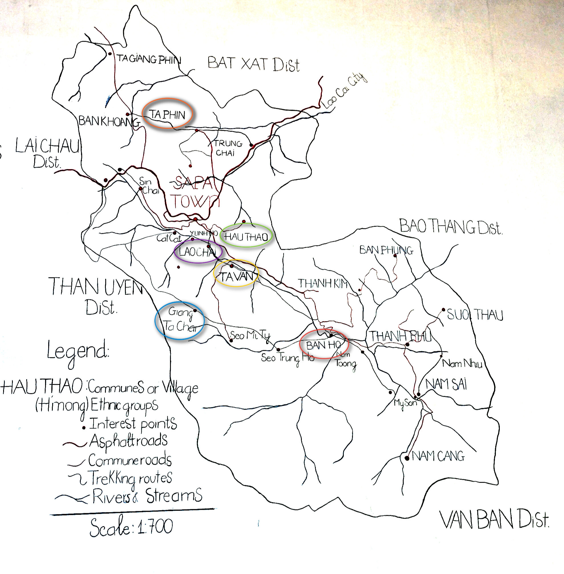
The most popular thing to do in Sa Pa is hike around the nearby villages and sleep in hill tribe homestays. It is the best way to get to know the tribes around Sa Pa, and learn a bit about their culture, how they self-identify and how they relate to each other.
It’s also way more challenging than I expected! I was picturing a relaxing nature walk . . . nope. There was some technical hiking involved, and the villages are high up in the mountains. In my group of seven people (all with different fitness and skill levels) everyone ended up winded and sore, and a couple of us fell at least once on the washed out trails.
I went with Lily’s travel agency, and the H’mong guide brought us on the old mountain trails the villagers use to get around, not tourist trails. Very little walking was done on paved roads or even cut steps. The dexterity of the local people (who grew up climbing the mountain trails every day) is amazing. Older people, small children, and people carrying heavy loads in shower shoes were doing better than tourists in their mid-20s with Alpine experience, hiking boots and poles!
The physical challenge required enough of my concentration that it was hard to keep track of where we were going next and what we were supposed to see there. Differences between villages and tribes that are blatant to a local weren’t so clear to my foreign eyes, especially after dehydration, sunburn and knee problems set in . . .
Local women on their way to Sapa would often turn around and follow along, lending a hand as necessary. When we stopped for lunch and dinner, they would try to sell us the handicrafts they kept in their baskets. Some Westerners are very annoyed by this, but I think $10 for 3 hours of sherpa service and a piece of batik is a great deal.
They also made the cutest little motivational gifts from grasses and flowers, while I was resting or taking pictures. It takes about 3/4 of a day to get above the clouds, and I admit I felt a sense of accomplishment!
The first village we visited was a Black Hmong village. The rice had just been harvested, so it was interesting to see what else was growing: cabbages, pumpkins, green beans, water spinach, leeks and many varieties of potatoes. Everyone had a loom to weave hemp and a vat of indigo on the porch (indigo dye smells terrible). Freshly dyed fabric was drying out on a water line or fence outside every house. Everything is blue near the houses; blue stains on the floors, fences, paths, rocks, and all the women have blue stained hands.
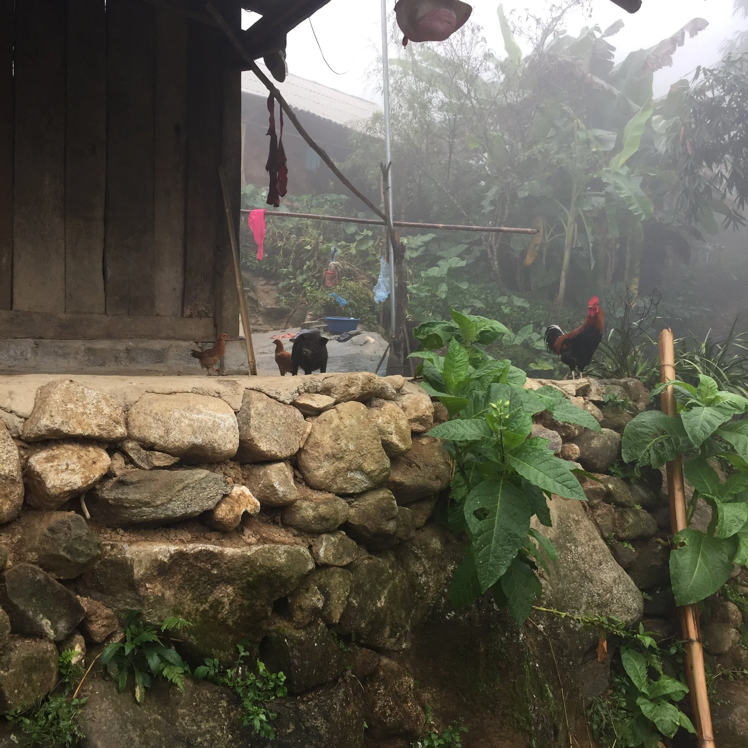
There were so many dogs, the kind I am not accustomed to seeing: big mixes, mama dogs, so many puppies. Other domesticated animals included pigs, goats, chickens, ducks and water buffalo. Slaughtering an animal is a big deal here and a lot of tourists don’t realize that the beef or pork served to them is really a luxury for the people who made it. In an effort to avoid tapeworms I won’t eat pork here, and avoid beef as much as possible; the locals are always either terribly insulted or openly gleeful they get to eat my portion, never indifferent.
I was surprised when our Black Hmong guide told us that despite living so close together for hundreds of years, the local tribes have mutually unintelligible languages; a Black Hmong can’t understand a White Hmong, for example. The mountains are so steep that until around 30 years ago, communication with the outside world was very limited and these villages were much more isolated than they seem now. Lingua Franca is Vietnamese; in the past it was French and everyone here calls me ‘Madame.’
I think it’s fair to say the tribespeople are interested in Western commerce, but not Western culture. Everyone has a smartphone, Facebook, Whatsapp, motorbike, and they are all very keen to learn English. However, they prefer their traditional dress, traditional food, traditional lifestyle.
Everyone marries early and has 5 or 6 kids. Women live with their husband’s family and help with farming and cleaning, but meet up with their own mothers and grandmothers to eat lunch, make clothes and craft little things to sell. Ridiculous EDM pumps in some homestays because they think Westerners like it, but a party here is staying up until 10 shooting ‘happy water’ (the rice equivalent of bathtub gin) and listening to guys play traditional flute music. Over the past 10 or so years, members of different tribes are intermarrying more and more.
I was lucky enough to partially witness (from a respectful distance, so I don’t have pictures, sorry) two important ceremonies: the traditional breakfast party given the morning after a wedding, and the 10 year celebration of a death (including animist rituals, chanting, and the sacrifice of a water buffalo). A lot of the hill tribe people are also Catholic, meaning that though they were converted by the French a hundred years ago, and attend the church in Sapa town with some regularity, they run their lives by the lunar calendar, observing a blend of Daoist, Buddhist and Animist traditions.
The lunch spots in the villages undeniably cater to tourists, but locals do also stop by to eat. It’s usually just someone’s house with a poured cement area for diners. They always let other locals sell groceries or knick-knacks in front. We also walked through a bamboo forest, and saw endless large potted plants, many on pedestals. I was very surprised to learn they are exotic orchids being cultivated for export! Further down the mountain, poinsettias for Christmas were also being grown.
I paid $75 for my 3 days of trekking with 2 nights at homestays, transport to and from Hanoi, and meals included. In my opinion it’s an unbeatable value for a must-do experience. HOWEVER, if you are not particularly athletic, don’t feel bad about doing a one day trek and homestay instead of something longer; you won’t miss much. My best advice is to check weather reports and plan your trip for sunny days. When it’s rainy the trails get dangerous, and when it’s cloudy you won’t get the spectacular mountain views people go for.


